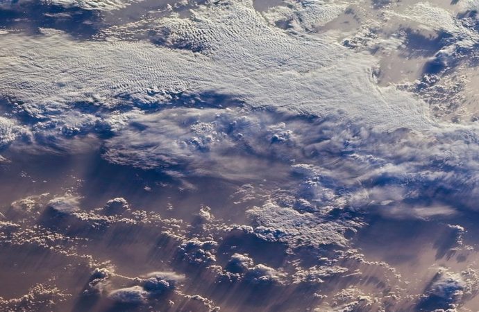
Clouds play a dominant role in the Earth’s radiation budget, both reflecting sunlight and trapping infrared radiation. Their responses are the primary source of uncertainty in the numerical simulations used to construct projections of future climate. Satellite data provides detailed imagery of clouds — especially their spatial and temporal distribution. A major open question in climate science is whether researchers can automatically extract spatiotemporal features of clouds from satellite imagery to aid in climate analysis.
This project is a joint effort among Argonne, UChicago Atmospheric Sciences, and UChicago Computer Science aimed at leveraging state-of-the-art computer vision and machine learning tools to extract cloud features from satellite data and characterize the temporal evolution of those patterns in response to a changing climate. This collaborative effort is necessary because off-the-shelf vision tools do not reflect the physical context of cloud formation, necessitating active collaborations between computer science and atmospheric science. Furthermore, the vast quantity of cloud data demands efficient, large-scale, and parallel computing capabilities being developed at Argonne.
This project was funded by the AI + Science initiative, a program organized by the University of Chicago Office of Research and National Laboratories in collaboration with the Center for Data and Computing aimed at increasing interactions among the University of Chicago, Argonne National Laboratory, Fermi National Accelerator Laboratory, and the Toyota Technological Institute at Chicago.
Principal Investigators: Rebecca Willett (UChicago), Ian Foster (Argonne, UChicago), Elisabeth Moyer (UChicago), Michael Maire (UChicago)