Open Spatial Lab
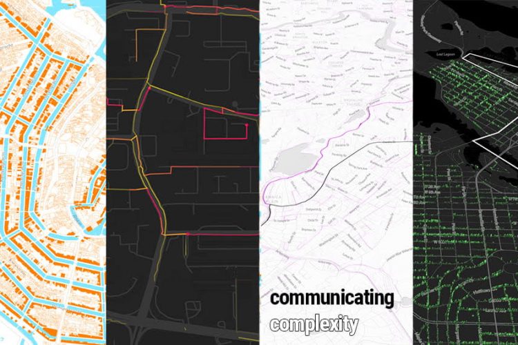
The Open Spatial Lab (OSL) creates open source tools and analyses to solve problems using geospatial data science. OSL’s mission is to diversify perspectives included in spatial data science practice and reach a broader audience through more accessible tools for data exploration, management, and visualization. The Lab works with community partners locally and across the US to understand needs and uses to activate data for community and policy decision support.
The Open Spatial Lab is supported in part by Robert Wood Johnson Foundation and a partnership with the Center for Spatial Data Science at University of Chicago.
![]()
Team
-

Dylan Halpern
Technical Lead, Open Spatial Lab -

Susan Paykin (she/her)
Program Lead, Open Spatial Lab & Associate Director, Community-Centered Data Science, Data Science Institute
Susan Paykin is the Program Lead of the Open Spatial Lab at the Data Science Institute (DSI) and oversees its programmatic, research, and partner engagement activities. As Associate Director, Community-Centered Data Science, Susan also helps lead DSI’s social impact and outreach initiatives including 11th Hour Project and Capacity Accelerator Network collaborations, and oversees the Community Data Fellows program, which provides data science support for community and nonprofit organizations. She was previously the Research Manager at the Center for Spatial Data Science at UChicago and has served leadership, research, and advocacy roles for environmental and social impact organizations. She holds a Master in Public Policy (M.P.P) from the Harris School of Public Policy at University of Chicago and a B.A. in International Studies from Brandeis University.
Related News, Insights, and Past Events

Open Spatial Lab and Groundwork Bridgeport awarded $1.7 million to advance tree planting, data inventory, and assessment tool

spatial@uchicago Open House
Evaluating Organizational Data Capacity & Needs in the Social Sector
New DSI Open Spatial Lab Brings Expertise to Social Impact Organizations