Jan
8
2021
Upcoming EventJan 08, 2021
Communicating Complexity: Amplifying Geospatial Research with Webmapping and Interaction
January 8, 2021 2:00 PM – 3:00 PM
Zoom
Innovative geospatial research deserves equally innovative communication and cartography. By translating research projects into new and engaging formats beyond a PDF or presentation, different audiences can be exposed to exciting research methods and results. This talk reviews the research publication to interactive webmap/ visualization pipeline used by data visualization specialists and researchers at MIT’s Senseable City Lab. Dylan Halpern, Principal Software Engineer at CSDS, presents several recent webmapping/data visualization projects from initial research manuscript to final interactive map and website, and the design, research, and technologies that inform this process.
Speakers

Dylan Halpern
Principal Software Engineer, Center for Spatial Data Science
Registration
May
7
Upcoming EventMay 07, 2024
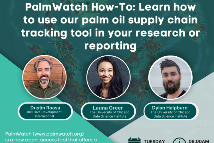
PalmWatch How-To: Learn how you can use PalmWatch in your research or reporting
Apr
28
Upcoming EventApr 28, 2024
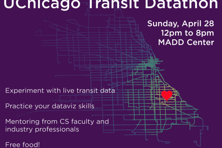
First Annual UChicago Transit Datathon

Apr
8
Past EventApr 08, 2024
Navigating the Data Science Job Market: Insights and Opportunities

Apr
5
Upcoming EventApr 05, 2024